It goes stale
Street-level imagery is refreshed every few years at best. A shopfront, a road layout or a building site can change in a week.
Vision data
In developmentAI teams need current images of streets, shops and buildings. We are building tasks where players capture those images on site, in 70 countries.
This product is in development. This page describes what we are building and what already exists underneath it.
The gap
Street-level imagery is refreshed every few years at best. A shopfront, a road layout or a building site can change in a week.
Mapping vehicles cover roads. Footpaths, markets, stations and much of the world's cities are thin or missing.
Scraped images come with no proof of where or when they were taken, and no clear consent from whoever took them.
How it will work
Places, angles, conditions
A list of storefronts, a set of crossings at night, one street in the rain. You say what the model needs to see and how much of it.
On the map, for players nearby
The task appears in the app for the people who are already close, with a reward for completing it.
Verified place and time
A capture only counts from an attested device inside the radius, so every frame carries a place and a time that were checked.
Reviewed and privacy filtered
Checked for quality, filtered for privacy, and delivered with its location and time metadata.
From capture to training
A photo is not training data yet. Five steps sit between the capture and your model.
Labelled crops, as they would sit in a dataset
Uses
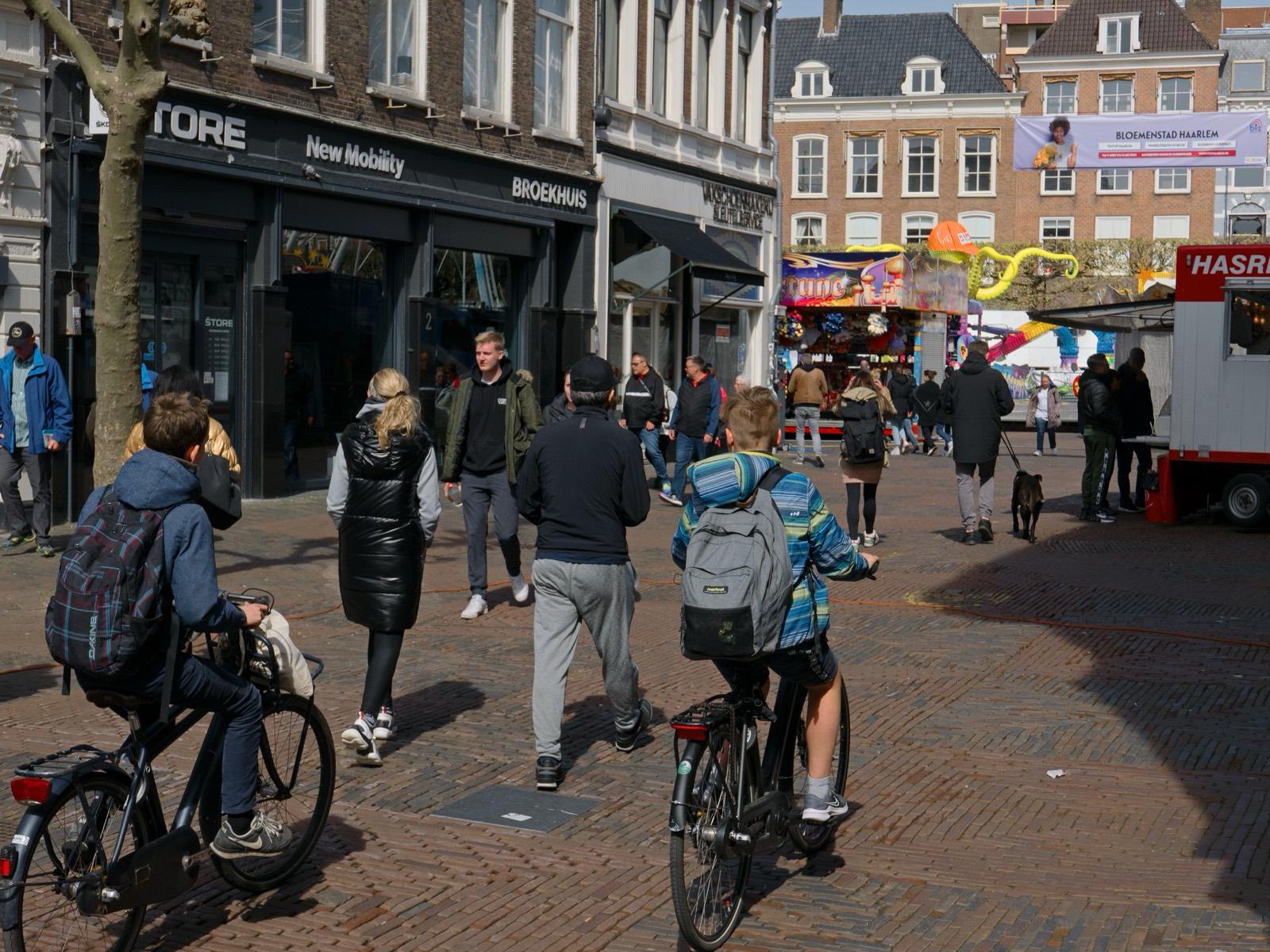
A model only knows the physical world from pictures of it. That holds for an assistant that answers questions about a photo as much as for a robot crossing a square. Here is one street, and eight things a model can take from it.
Illustration: the layers are placed by hand on a public domain street photograph. No model produced them.
Already in place
The capture product is new. The network, the verification and the quest engine are already running.
Principles
Contributors know what they capture and why, agree to it, and are paid for it.
Faces and number plates are to be removed before any dataset leaves us.
Every image is to come with a clear licence from the person who took it, traceable to a verified capture.
Design partners
We are shaping the first capture tasks with a small number of AI teams. If you have a data gap in the physical world, we want to hear what it is.