It is refused and logged
A faked location or an emulator gets no reward, and the attempt is recorded.
Technology
Three things make the platform. We know for certain that someone was at a place. We put digital objects on a real spot. And we use AI in the app, in the map and, next, in the data we deliver.
Proof of presence
In productionEvery claim is checked by our server. The phone supplies data. The server decides.
The phone proves with an attestation from its operating system that the unmodified app is running on a real device.
Simulated locations and emulators are refused and logged.
The server measures the distance to the spot itself. Within 40 metres counts.
Someone who covers a kilometre in a few seconds is not walking.
The same checks run again at the moment something of value is paid out.
The radius
A reward can be claimed within 40 metres of its spot. The server adds 15 metres for GPS error and refuses everything beyond that.
A faked location or an emulator gets no reward, and the attempt is recorded.
Each reward allows a small number of attempts, with a pause between them.
Accounts and addresses that keep trying are shut out.
Spatial computing
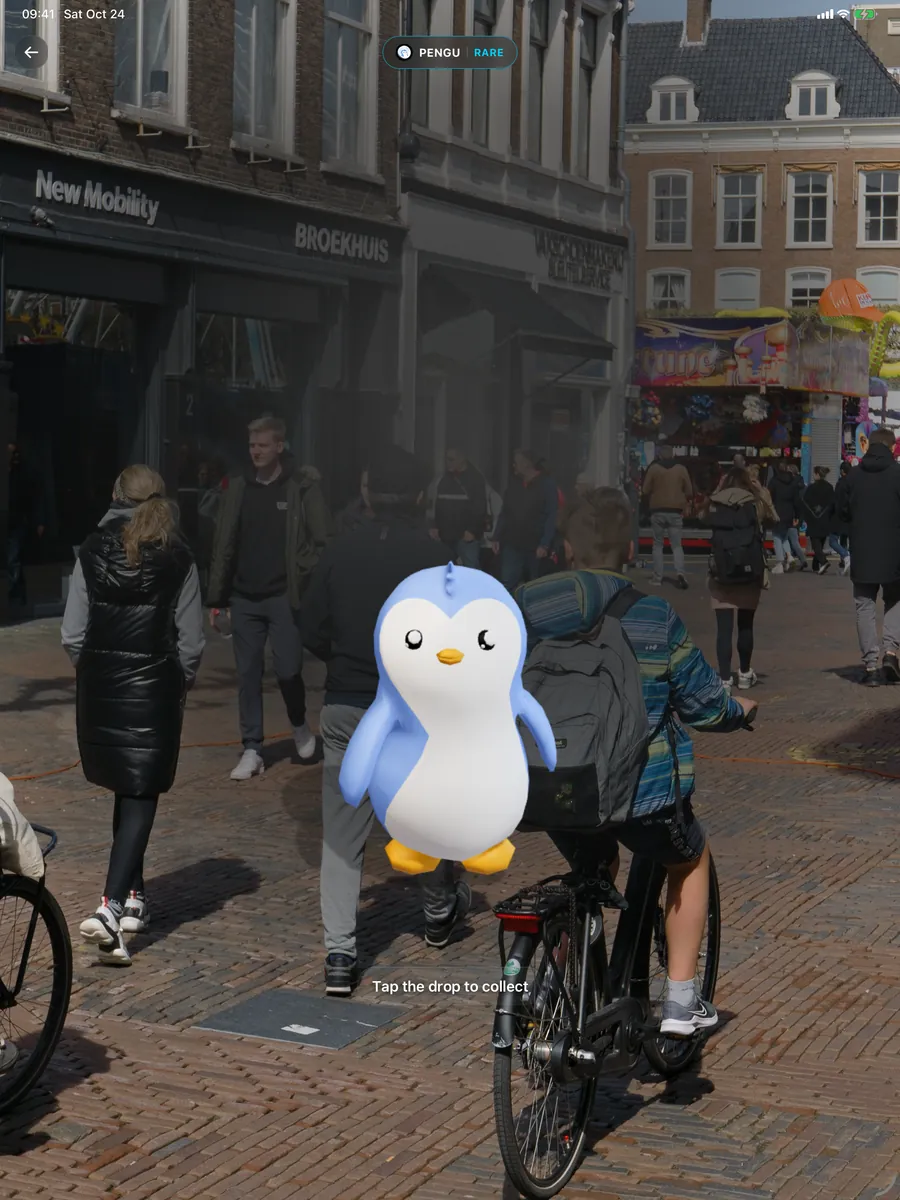
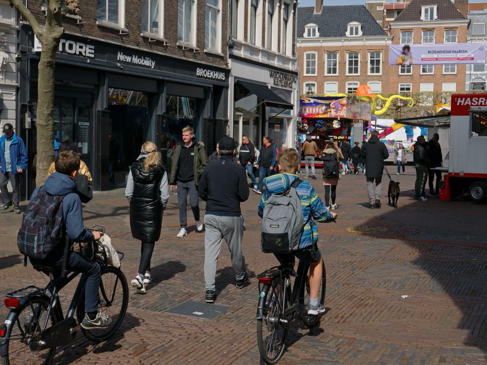
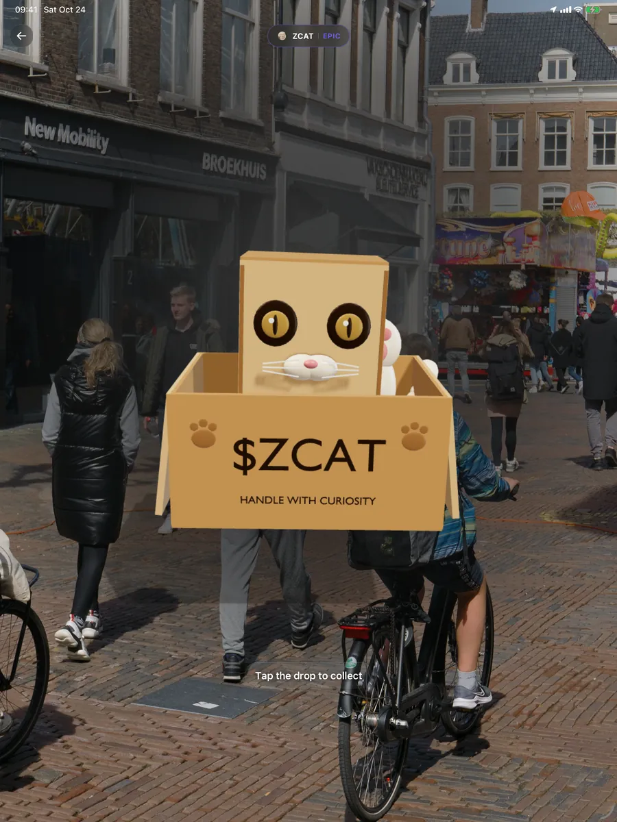
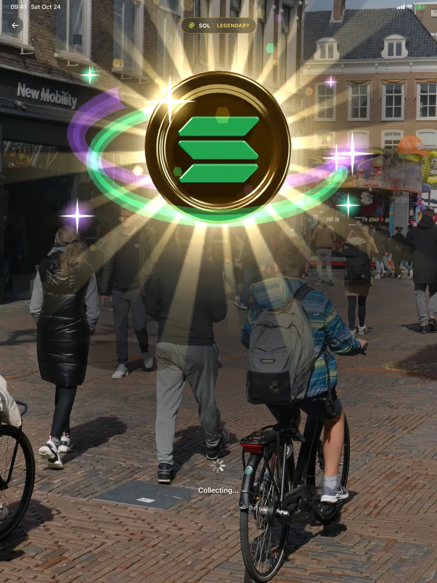
In productionIn the camera, a 3D object stands in the street, on the spot where our server placed it. It works on an ordinary phone or tablet, with no headset and no extra hardware.
From server to street
The phone follows its surroundings frame by frame, so an object stays put while you walk around it.
The server decides where something appears: on footpaths only, never on a motorway or in the water.
Every coin has its own 3D character. Partners supply it through the portal and it goes live without an app update.
AI
We use AI in four places. Each one shows how far along it is.

Mobi
Mobi is the voice assistant in the app. It answers out loud and can operate the app for the player.
Where is the nearest reward?
There is one 120 metres away, on the corner. I have marked it on your map.
Players talk to Mobi. The assistant can find and mark rewards nearby, look up a balance and operate the map.
Vision-language models read street photos and work out where windows and details belong on a building front. Early work: the first building is on the map.
Texts and images in third-party quests pass an automatic content check before a person reviews them.
Captures with a verified place and time, labelled and with faces removed. Meant for training models that need to recognise streets, shops and buildings.
Questions about the technology?
We are happy to walk your team through the architecture.